


Standard
Opening
Utility
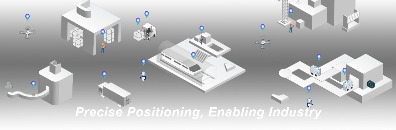
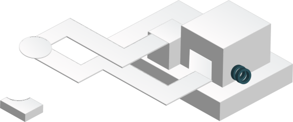
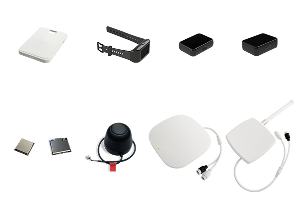
The IPS indoor positioning system is a system-level solution based on UWB technology, consisting of positioning anchor, tags, and a background. The system supports multi-area, multi-floor, and cross-city centralized positioning with a typical positioning accuracy of up to 10-30 cm. Ultra-low-power positioning tags provide extended battery life for several months or years, and the ultra-high concurrency performance allows for virtually unlimited capacity of anchor and tags. The system features convenient functions such as point map calibration of anchor coordinates, electronic fence alarms, camera linkage tracking, and one-click OTA firmware upgrades, providing a simple and easy-to-use operation experience. Centralized management is achieved through the server for positioning calculation and business functions. IPS provides a variety of device forms such as bracelets, work cards, and modules to meet the needs of different scenarios. The system provides open APIs to meet the requirements of in-depth integration. Detailed development materials and immediate technical support make it easy for developers to get started.
It is widely used in scenarios such as warehousing and logistics, high-end manufacturing, industrial intelligence, and public security, procuratorate, and law.
Ranging
Location
Correspondence
Timing
The LinkTrack high-precision positioning system is a lightweight, high-performance solution based on UWB technology, integrating ranging, 2D and 3D positioning, and data transmission functions. With a ranging and positioning accuracy of up to 10 cm and a refresh rate of 200 Hz, it meets the needs of various high-performance application scenarios. The system features convenient functions such as one-click anchor coordinate calibration, wireless parameter setting, and one-click OTA firmware upgrade, providing a simple and easy-to-use operation experience. There is no need to set up a server, significantly reducing integration difficulty and cost. LinkTrack offers a variety of device forms, such as modules and finished products, to meet the needs of different scenarios. The system fully supports open communication protocols and adapts to various in-depth integration requirements. Comprehensive development materials and real-time technical support help developers get started easily.
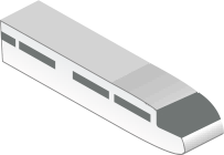
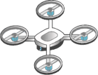
It is widely used in scenarios such as robot and UAV mobile navigation, precise measurement, sports entertainment, and collision warning.
Small
Lightweight
Compatible
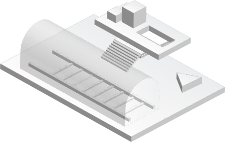
The TOFSense is a series of products based on laser ranging technology. The series has a minimum blind zone of 2 cm and a maximum distance of up to 25 meters, covering single-point and multi-point measurements, with 2-63° FOV angles and various communication interfaces, such as UART, CAN, IIC, and IO. The series supports cascading ranging to reduce the resource occupation of communication interfaces, as well as active output and passive query to meet different development architectures. The system fully supports open communication protocols and adapts to various in-depth integration requirements. Comprehensive development materials and real-time technical support help developers get started easily.
It is widely used in scenarios such as robot obstacle avoidance, UAV altitude control, detection and measurement, hydraulic pile detection, and personnel detection.
The IPS indoor positioning system is a system-level solution based on UWB technology, consisting of positioning anchor, tags, and a background. The system supports multi-area, multi-floor, and cross-city centralized positioning with a typical positioning accuracy of up to 10-30 cm. Ultra-low-power positioning tags provide extended battery life for several months or years, and the ultra-high concurrency performance allows for virtually unlimited capacity of anchor and tags. The system features convenient functions such as point map calibration of anchor coordinates, electronic fence alarms, camera linkage tracking, and one-click OTA firmware upgrades, providing a simple and easy-to-use operation experience. Centralized management through server location and business functions. IPS provides a variety of device forms such as bracelets, work cards, and modules to meet the needs of different scenarios. The system provides open APIs to meet the requirements of deep integration. Detailed development materials and immediate technical support help developers get started easily. Widely used in warehousing and logistics, high-end manufacturing, industrial intelligence and other scenarios.
10~30cm
High Precision
10000+
High Capacity
15mW
Low Power
UWB technology, TDOA, AOA positioning algorithm
Systematic deployment, centralized management in the background
Simultaneously supports uplink positioning and downlink positioning tags
Rich business functions make it easier to expand
Multi-floor, multi-building, multi-city deployment
Open ecosystem, easier to integrate

Application Scenarios

Smart Factory

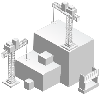
Safe Construction

Warehousing Logistics

Prison Detention Center
The LinkTrack high-precision positioning system is a lightweight, high-performance solution based on UWB technology, integrating ranging, 2D and 3D positioning, and data transmission functions. With a ranging and positioning accuracy of up to 10 cm and a refresh rate of 200 Hz, it meets the needs of various high-performance application scenarios. The system features convenient functions such as one-click anchor coordinate calibration, wireless parameter setting, and one-click OTA firmware upgrade, providing a simple and easy-to-use operation experience. There is no need to set up a server, significantly reducing integration difficulty and cost. LinkTrack offers a variety of device forms, such as modules and finished products, to meet the needs of different scenarios. The system fully supports open communication protocols and adapts to various in-depth integration requirements. Comprehensive development materials and real-time technical support help developers get started easily. It is widely used in scenarios such as robot and UAV mobile navigation, precise measurement, sports entertainment, and collision warning.
10cm
High Precision
200Hz
High Frequency
2000m
Long Distance

UWB technology, TOF, TOA ranging positioning algorithm
Lightweight deployment, wireless synchronization, no server required
One-click calibration, 5-minute setup
Support Fake-GPS pseudo-GPS mode (NEMA0183)
Support ROS robot operating system
Support for Pixhawk (APM) open source autopilot

Application Scenarios

Mobile Navigation

Entertaining and Interactive

Precise Measurement

Cluster Formation

Athletic Sports

Collision Avoidance Warning
2cm
Low Dead Zone
50m
Long Distance
2~63°
Fov
TOFSense laser ranging sensor is based on the principle of TOF flight time, the blind zone in the series is less than 2cm, the distance is up to 25m, covering single point, multi-point, 2~63 ° FOV angle, UART, CAN, IIC, IO multiple communication interfaces. Cascade ranging is supported in the series to reduce the resource occupation of the communication interface, and the active output and passive query meet different development architectures. The system fully opens the communication protocol to adapt to various deep integration requirements. Detailed development materials such as ROS, APM, C language drivers and real-time technical support help developers easily get started, which are widely used in scenarios such as robot obstacle avoidance, UAV height determination, detection and measurement, hydraulic stacking inspection, and personnel detection.

Laser ranging technology, TOF ranging
Single-point, multi-point optional
Multiple communication interfaces: UART, CAN, IIC, IO
Support cascade ranging
A variety of models to meet the variety of strong and weak light environments
Support ROS robot operating system

Application Scenarios

The UAV Sets The Height

Detection And Measurement

Intelligent Gesture Control

Robot Obstacle Avoidance

Hydraulic Stockpile Detection

Personnel Detection
Enterprise Advantage
Core Technology
Adaptive Technology for Working Conditions
It has the ability of multipath recognition technology from the underlying hardware and original data sources, and adapts to the on-site environment under working conditions through intelligent recognition algorithms to achieve better positioning performance
Ultra-Low-Power Technology
Ultra-low power consumption technology systematically realizes the self-adaptation technology of ultra-long working conditions from hardware, software architecture, and application scenarios
Wireless Synchronization and Communication Technology
Over the years, UWB ultra-wideband wireless communication technology has been continuously precipitated and iterated, making wireless synchronization more accurate, and wireless communication more efficient, more stable and safer
Efficient Implementation of Landing Technology
Based on thousands of project case databases and accurate identification algorithms, a full set of tools such as intelligent diagnosis, point chart determination, and on-site analyzer have been realized, making the implementation cost lower
Precision RF Technology
It has the ability to efficiently design and systematically test high-frequency precision hardware, making high reliability and low cost possible
Multi-Source Algorithm Fusion Technology
Integrate data from multiple sources to achieve more robust and high-precision positioning results
Honor