Introduction
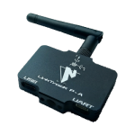
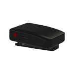
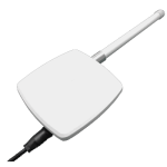
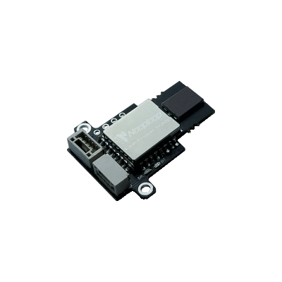
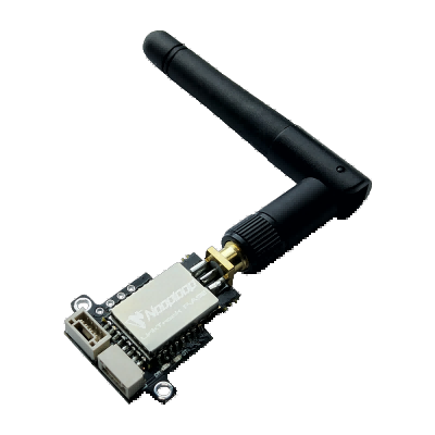
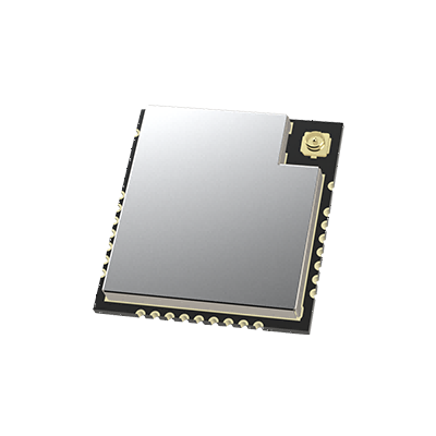
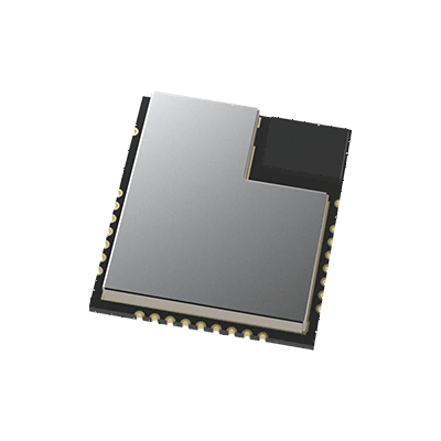
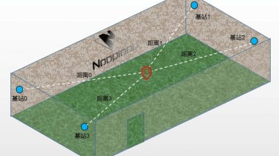
LinkTrack is a PNTC (positioning, navigation, timing and communication) local positioning system based on UWB technology. It supports 1D, 2D and 3D positioning, 1D and 2D typical positioning accuracy is 10cm, and 3D typical positioning accuracy is 30cm; it also supports 40 tags and 120 base station positioning. Support distributed ranging and data transmission, realize cluster formation without geographical restrictions; support pure data transmission mode, bandwidth up to 3Mbps.

Features
Based on UWB (Ultra Wideband) communication technology
Integration of positioning, navigation, timing and communication
Three modes: local positioning, distributed ranging, and digital transmission
The same hardware can be flexibly configured for different roles such as tag and anchor
High capacity: 40 tags / 120 anchors / 1 console
High-speed low-latency data transmission mode, bandwidth up to 3Mbps
Automatic networking with each other
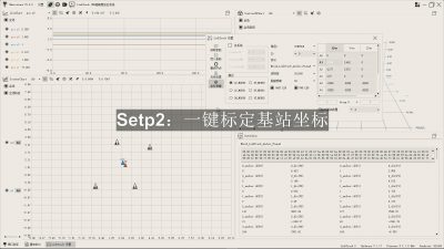
One-Key calibration coordinates of anchors
Wireless parameter configuration and firmware upgrade
Fake GPS support, output NMEA-0183 protocols
Built-in three-axis gyroscope, three-axis accelerometer
Multi-band, adjustable transmission gain
Mode
Intelligent Two-way Broadcast
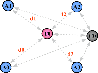
LP Mode
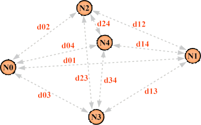
DR Mode
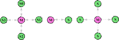
DT Mode
Solutions
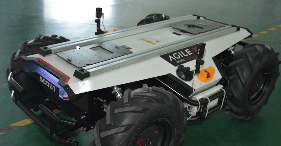
Mobile Robot Navigation
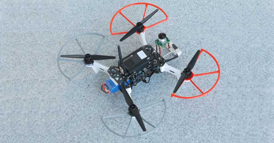
Robots, unmanned vehicles, drones and other vector navigation and positioning.
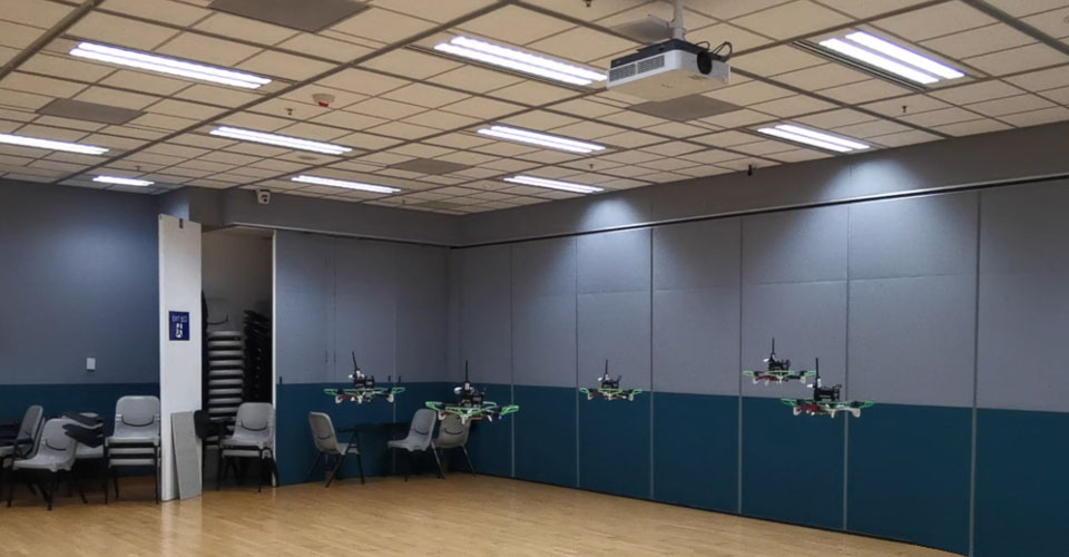
Centralized Cluster Formation
UAV formation performance, unmanned fleet array, multi-robot simulation battle, etc.





Geological Hazard Monitoring
Landslide monitoring, soil pit collapse monitoring, bridge deformation monitoring and early warning, etc.

After Sales Support
One-to-one after-sale technical support to reduce the difficulty of development
Detailed product manuals, including datasheet and user manuals
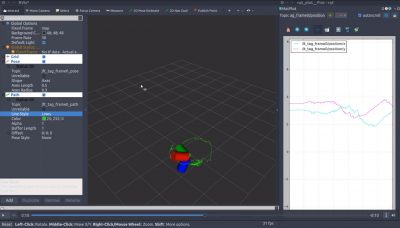
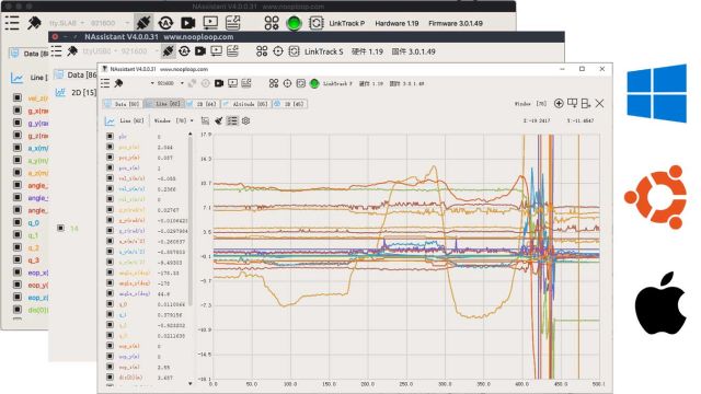
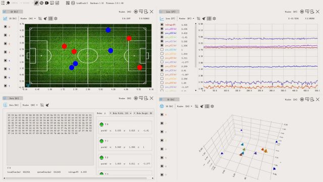
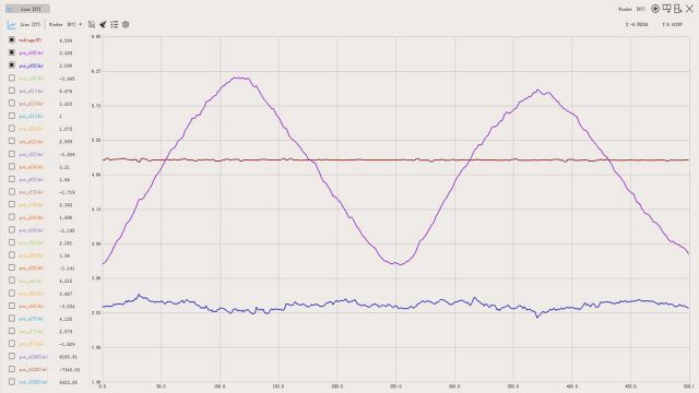
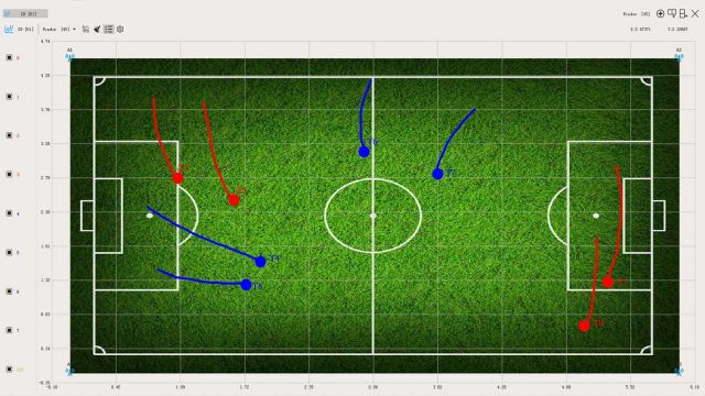
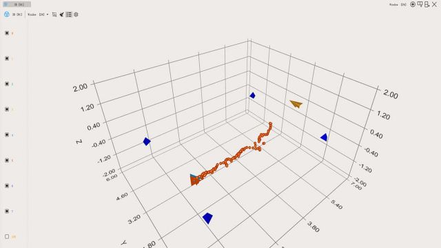
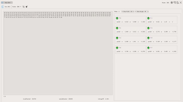
Software supporting multifunctional data visualization and product configuration
Protocol unpack code and ROS package
LinkTrack Model Selection
